Welcome to EstesParkWeather.net - Bringing you the best in local weather for Estes Park, Colorado.
5/6/26 - The website was hacked earlier today and has not been up most of the day due to it being impacted with some malware. The malware made the site inoperable. My web hosting company identified the weakness they exploited and this has been fixed so that this should not happen again. I am sorry for the inconvenience.I am in the process of trying to get the clean up the damage and get the site back up but this will take some time.
Prior to the site being hacked I have been working with a developer to update the design to bring it up current design and security standards. This will include a design that is compatible with multiple device sizes including smartphone browsers. The new site is actually almost ready to be launched.
I will update you again once I have more clarity as when the new site will be ready to launch. I am focusing on getting the new site launched as this will provide the most current and up to date software that will be resilient to future attacks.
Thank you, Greg
NWS Weather Alerts Summary
Issued by the National Weather Service
Last update: Thursday 1:26am MDT
Estes Park Freeze Warning - Expires: Thursday 5/7/2026 8:00 am
Updated: @Thu, 07-May-2026 1:20am MDT - next update at 1:30am
NWS forecast: Overnight, Mostly clear. Low around 26, with temperatures rising to around 31 overnight. West wind around 17 mph, with gusts as high as 28 mph. Davis VP+ forecast: increasing clouds with little temp change, precipitation possible within 24 to 48 hrs.
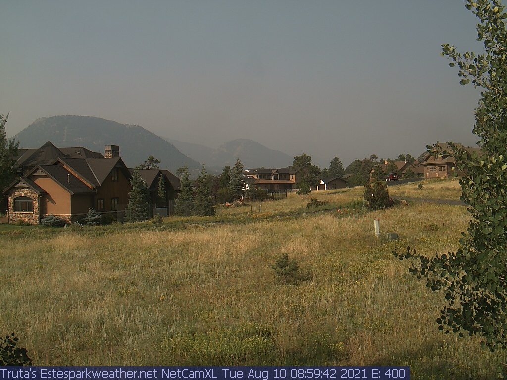
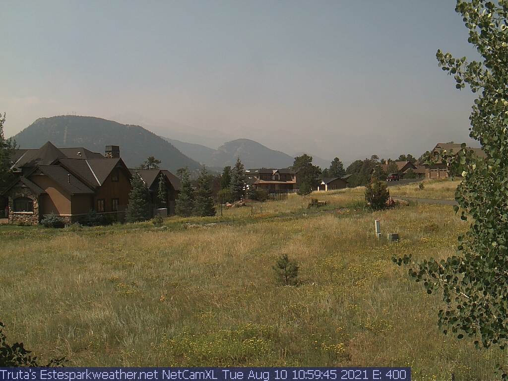
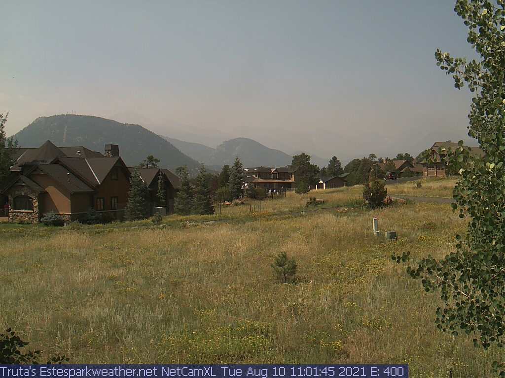
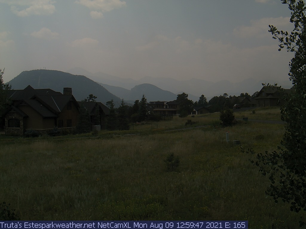
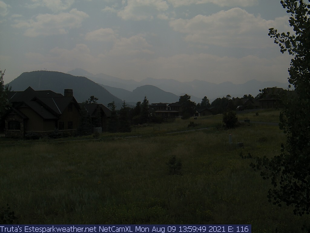
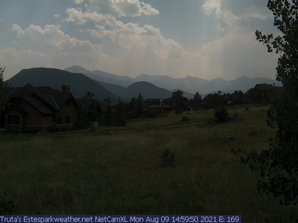
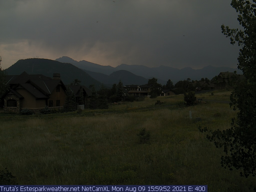
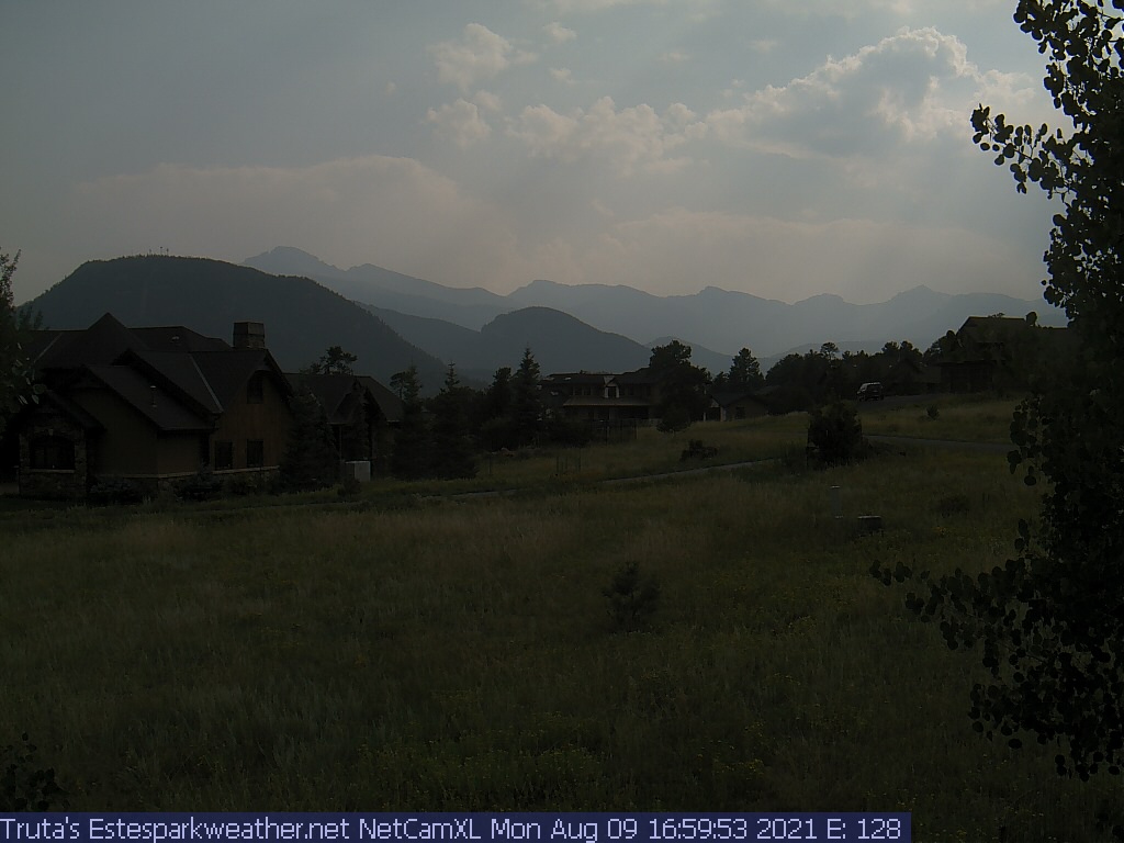
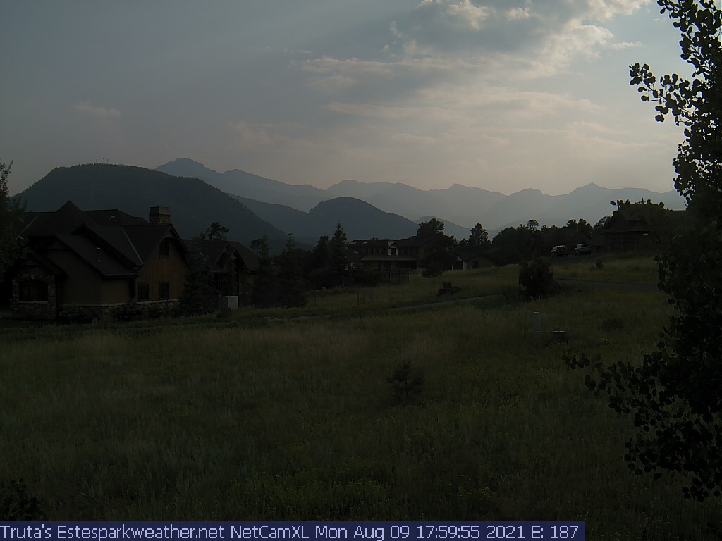
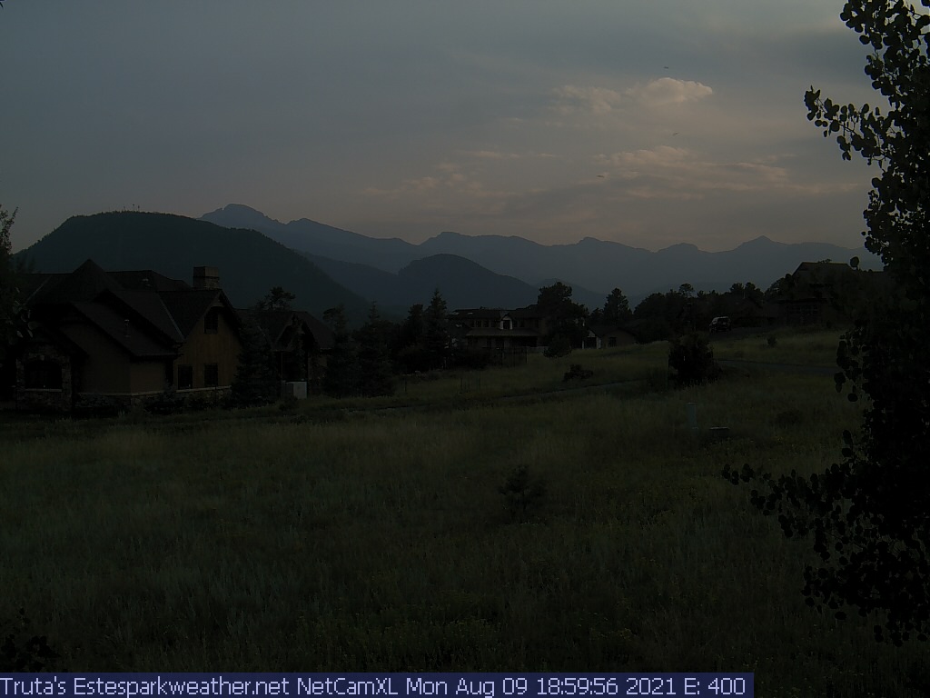
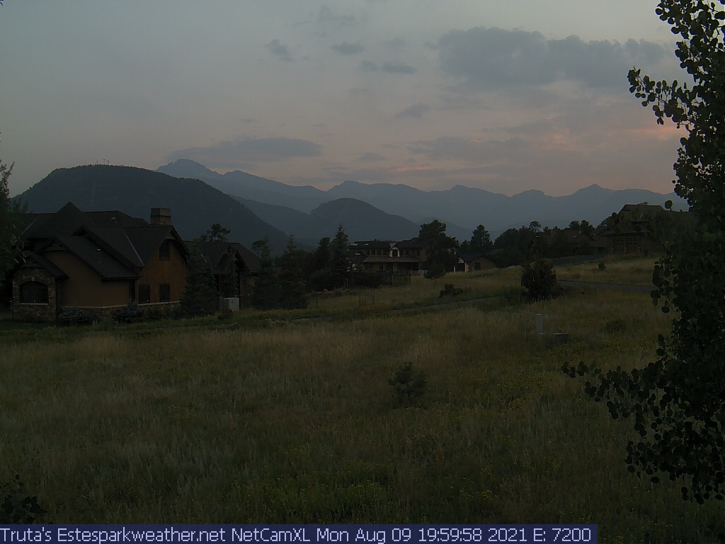
Estes Park Webcam - Estes Park, Colorado - Time-Lapse slideshow
Click on the webcam image to view full-size.
Weather Forecast
National Weather Service Forecast for: Estes Park, CO
Issued by: National Weather Service Denver/Boulder, CO
Updated: Thu, 07-May-2026 12:46am MDT
Overnight
Mostly Clear
Thursday
Mostly Sunny
Thursday Night Slight Chance Rain Showers then Partly Cloudy
Friday
Sunny
Friday Night Mostly Clear
Saturday
Sunny
Saturday Night Slight Chance Showers And T-Storms then Partly Cloudy
Sunday
Sunny
Sunday Night Mostly Clear
Lo 26 °F
Hi 55 °F
Lo 36 °F
Hi 61 °F
Lo 39 °F
Hi 64 °F
Lo 34 °F
Hi 65 °F
Lo 40 °F
Overnight
Mostly clear. Low around 26, with temperatures rising to around 31 overnight. West wind around 17 mph, with gusts as high as 28 mph.
Thursday
Mostly sunny, with a high near 55. West wind 13 to 16 mph, with gusts as high as 25 mph.
Thursday Night
A slight chance of rain showers before midnight. Partly cloudy. Low around 36, with temperatures rising to around 39 overnight. West wind 6 to 10 mph, with gusts as high as 16 mph. Chance of precipitation is 20%.
Friday
Sunny, with a high near 61. West wind 2 to 7 mph, with gusts as high as 17 mph.
Friday Night
Mostly clear, with a low around 39. West wind 3 to 9 mph, with gusts as high as 21 mph.
Saturday
Sunny, with a high near 64.
Saturday Night
A slight chance of showers and thunderstorms before midnight. Partly cloudy, with a low around 34.
Sunday
Sunny, with a high near 65.
Sunday Night
Mostly clear, with a low around 40.
Monday
Sunny, with a high near 79.
Monday Night
Mostly clear, with a low around 49.
Tuesday
Sunny, with a high near 79.
Tuesday Night
Partly cloudy, with a low around 48.
Wednesday
A slight chance of showers and thunderstorms after noon. Mostly sunny, with a high near 78.
Do you enjoy using this website regularly? Please consider a small donation to help offset the operational costs of running this website. Thank you! Greg Truta
Interested in advertising your small business on EstesParkWeather ? Contact me for more information:
This page is updated by Weather Display V10.37S and WeatherLink V
With JavaScript enabled, some conditions are updated at 5 second intervals. The next full page conditions update is scheduled for 1:30am. Thanks to Ken True at Saratoga-Weather.org for the general layout ideas, and his use of AJAX technologies.
Quote from the patron saint of the webmaster, St. Alphonsus Liguori : "My Jesus, Thou alone art sufficient for me. My love, do not permit me to separate myself from Thee. When shall I be able to say, 'My God, I cannot lose thee any more?' "