Welcome to EstesParkWeather.net - Bringing you the best in local weather for Estes Park, Colorado.

Advisory Information Unavailable, error fetching or reading data from the NOAA advisories server.

Updated 4/27/2024 - Webcam is down due to a undetermined technical issue related to the power outages from the storm. The webcam may have suffered damage due to a power surge. ETA of restore 4/29 - 5/3. Thanks for your patience.
As my time allows I will begin the transition to the new website. Please note that the current legacy website is no longer reporting Weather Advisories such as Winter Storm warnings due to it's older programming code base. Please utilize the new new EstesParkWeather.net to check on warnings. This new site is functional and usable while work is in progress.

Hazardous Weather Conditions


Hazardous Weather Outlook
Winter Storm Warning
 
Updated@ Fri, 26-Apr-2024 9:30pm UTC - next update at 9:40pm 
Summary / Temperature Wind Rain Outlook

Estes Park, Colorado Webcam facing South WestEstes Park live webcam

Stopped snowing
Night time/Stopped snowing
33.6 Colder 2.3°F than last hour.

Cold

Feels like: 34

24-hr difference
-8.4°FColder 8.4°F than yesterday at this time.
Currently 33.6°F, Max: 56.0°F, Min: 33.6°F
  Today Yesterday
High: 56.0
3:13pm
64.2
12:53pm
Low: 33.6
9:28pm
33.8
4:01am
 Wind from NE NE 0.2  
Gust: 1.0
Gust Today: 31.1 2:23pm
Gust Month: 52.0 Apr 6
Rain Today: 0.26
Rain Rate (/hr): 0.079
Rain Yesterday: 0.01
This Month: 0.68
Season 2 Total: 2.61
9 rain days in Apr.
Tonight

Tonight: Snow showers before 7pm, then snow, mainly between 7pm and midnight. Some thunder is also possible.  Low around 27. Northeast wind 5 to 8 mph becoming calm  in the evening. Winds could gust as high as 16 mph.  Chance of precipitation is 90%. New snow accumulation of 1 to 2 inches possible.
Snow Showers
then Chance
Snow


Lo 27 °F
Humidity & Barometer Almanac Moon
Humidity: 91 %
Dew Point: 31.3 Decreased 2°F since last hour. Increased 1% since last hour.
Barometer: 29.51 Rising 0.059 inHg/hour
Baro Trend:
Sunrise: 6:05 am
Sunset: 7:52 pm
Moonrise: 11:16 pm
Moonset: 8:03 am
Waning Gibbous
90%
Illuminated
UV Index* - Littleton Solar Radiation* Littleton
  0.0  None 1
High: 0.0 @ 12:00am
0W/m2 0 % of max)
High: 0 @  12:00am
*UV/Solar Readings from my Littleton, CO Weather Station 1 UV Index Forecast 2Yearly rainfall season is from July 1st
Estes Park Weather Forecast  -  Today's Outlook
Today

Today: Snow showers. The snow could be heavy at times. Some thunder is also possible.  High near 33. Northeast wind 7 to 9 mph, with gusts as high as 21 mph.  Chance of precipitation is 100%. Total daytime snow accumulation of 12 to 18 inches possible.
Heavy Snow


Hi 33 °F
NWS forecast: Today, Snow showers. The snow could be heavy at times. Some thunder is also possible. High near 33. Northeast wind 7 to 9 mph, with gusts as high as 21 mph. Chance of precipitation is 100%. Total daytime snow accumulation of 12 to 18 inches possible.
Davis VP+ forecast: mostly cloudy and cooler, precipitation ending within 6 hrs, windy with possible wind shift to the w, nw, or n.
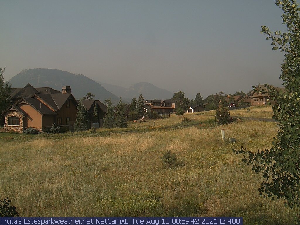
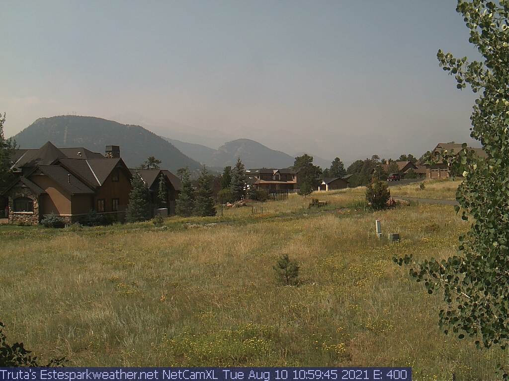
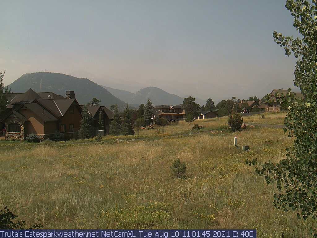
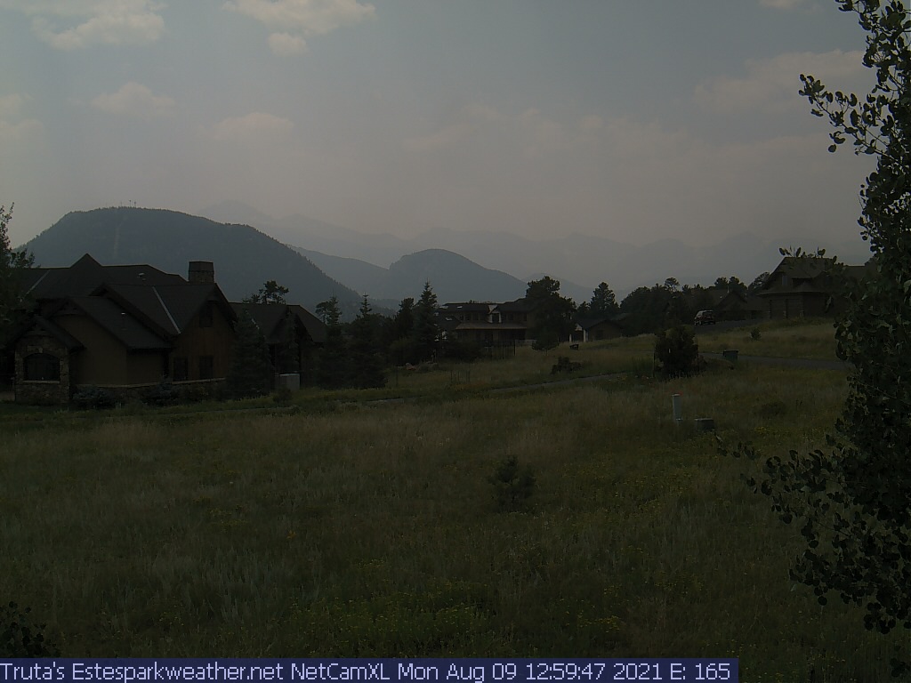
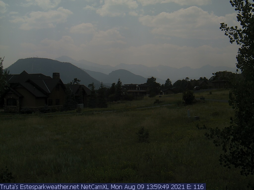
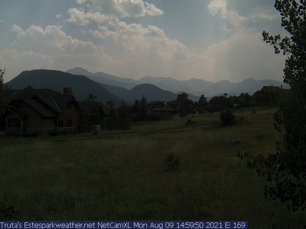
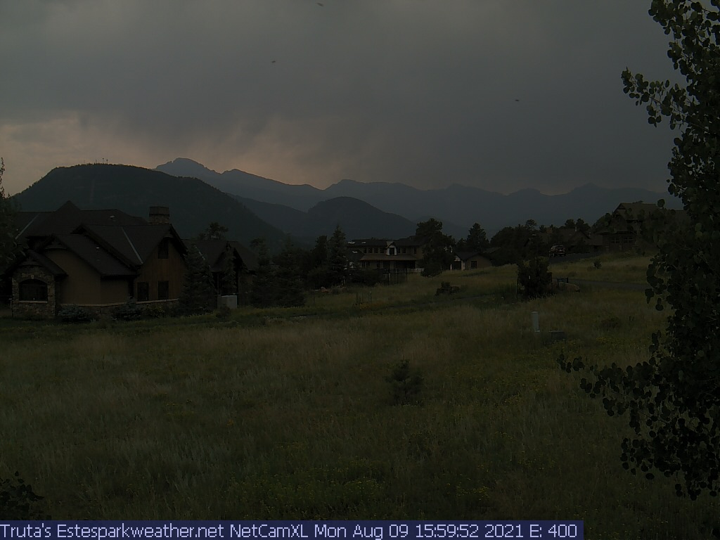
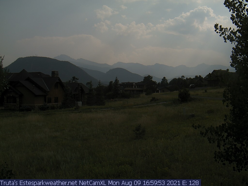
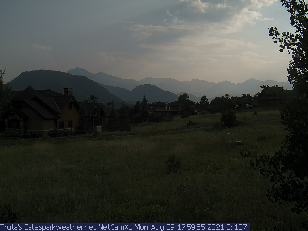
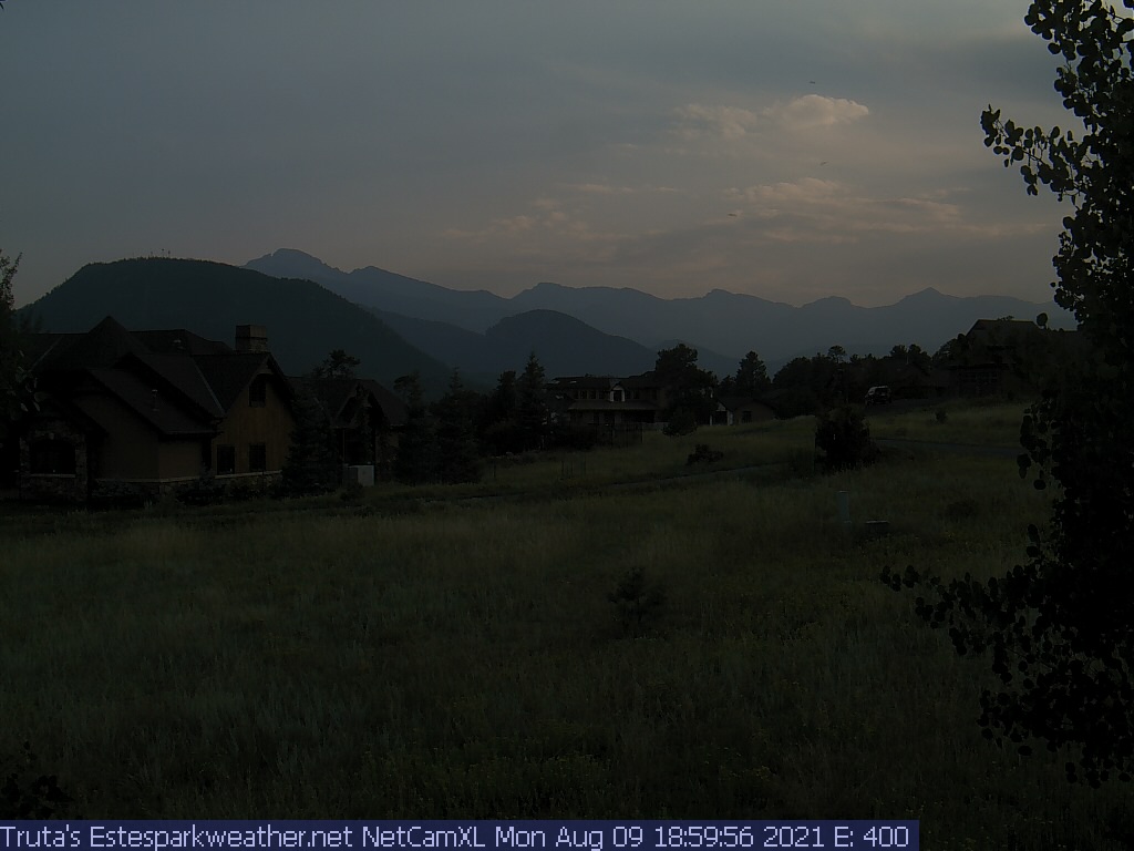
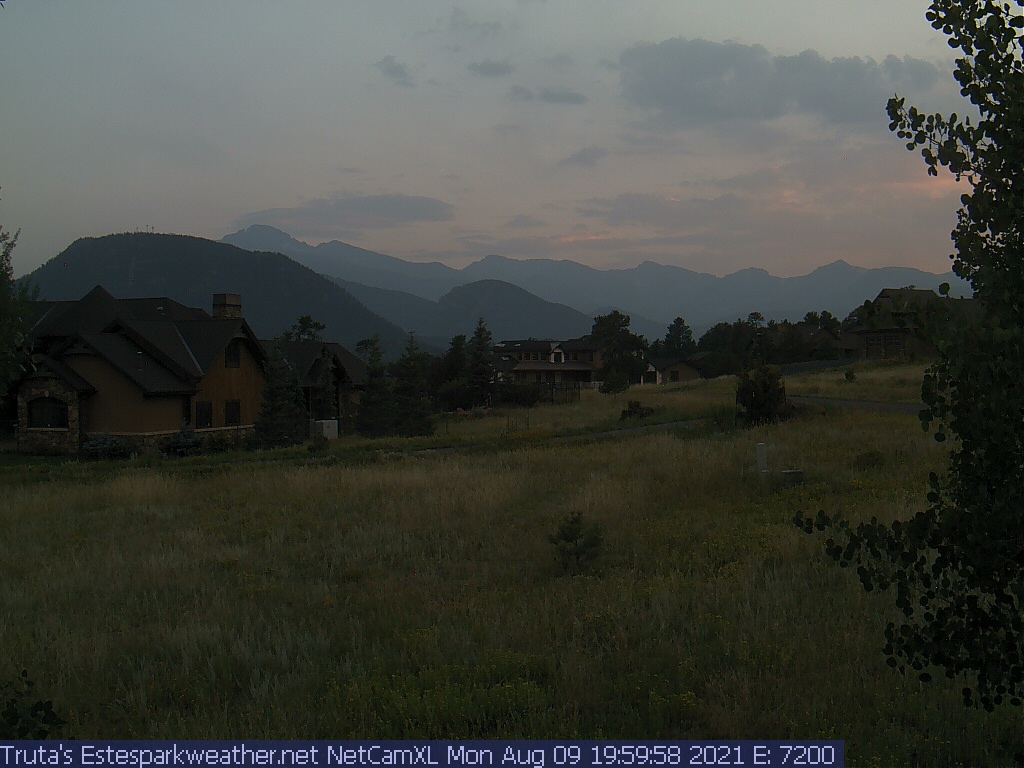
Estes Park Webcam - Estes Park, Colorado - Time-Lapse slideshow

Weather Forecast

National Weather Service Forecast for: Estes Park CO
Issued by: National Weather Service Denver-Boulder, CO
Updated: 9:19 am MDT Apr 27, 2024
Today

Today: Snow showers. The snow could be heavy at times. Some thunder is also possible.  High near 33. Northeast wind 7 to 9 mph, with gusts as high as 21 mph.  Chance of precipitation is 100%. Total daytime snow accumulation of 12 to 18 inches possible.
Heavy Snow


Tonight

Tonight: Snow showers before 7pm, then snow, mainly between 7pm and midnight. Some thunder is also possible.  Low around 27. Northeast wind 5 to 8 mph becoming calm  in the evening. Winds could gust as high as 16 mph.  Chance of precipitation is 90%. New snow accumulation of 1 to 2 inches possible.
Snow Showers
then Chance
Snow

Sunday

Sunday: A chance of snow showers before noon, then rain and snow showers likely between noon and 1pm, then rain showers likely after 1pm. Some thunder is also possible.  Partly sunny, with a high near 47. West northwest wind 5 to 9 mph becoming north in the morning.  Chance of precipitation is 70%. Little or no snow accumulation expected.
Chance Snow
Showers then
Rain/Snow
Likely
Sunday
Night
Sunday Night: A chance of rain showers, mixing with snow after 7pm, then gradually ending. Some thunder is also possible.  Partly cloudy, with a low around 31. West wind 9 to 13 mph, with gusts as high as 21 mph.  Chance of precipitation is 30%. Little or no snow accumulation expected.
Chance
Rain/Snow
then Partly
Cloudy
Monday

Monday: A 10 percent chance of showers and thunderstorms after noon.  Mostly sunny, with a high near 53. Breezy, with a west southwest wind 10 to 18 mph, with gusts as high as 29 mph.
Mostly Sunny
then Slight
Chance
T-storms and
Breezy
Monday
Night
Monday Night: A slight chance of rain and snow showers after midnight.  Partly cloudy, with a low around 36. Breezy.  Chance of precipitation is 20%.
Breezy.
Partly Cloudy
then Slight
Chance
Rain/Snow
Tuesday

Tuesday: A 30 percent chance of showers and thunderstorms after noon.  Mostly sunny, with a high near 57. Windy.
Mostly Sunny
and Breezy
then Chance
Showers and
Windy
Tuesday
Night
Tuesday Night: A chance of rain showers before 2am, then a chance of rain and snow showers.  Mostly cloudy, with a low around 34. Breezy.
Chance
Showers and
Breezy then
Chance
Rain/Snow
Wednesday

Wednesday: A chance of rain and snow showers before 9am, then rain showers likely. Some thunder is also possible.  Partly sunny, with a high near 54. Breezy.
Chance
Rain/Snow
then Showers
Likely and
Breezy
Hi 33 °F Lo 27 °F Hi 47 °F Lo 31 °F Hi 53 °F Lo 36 °F Hi 57 °F Lo 34 °F Hi 54 °F
Today
 
Snow showers. The snow could be heavy at times. Some thunder is also possible. High near 33. Northeast wind 7 to 9 mph, with gusts as high as 21 mph. Chance of precipitation is 100%. Total daytime snow accumulation of 12 to 18 inches possible.
Tonight
 
Snow showers before 7pm, then snow, mainly between 7pm and midnight. Some thunder is also possible. Low around 27. Northeast wind 5 to 8 mph becoming calm in the evening. Winds could gust as high as 16 mph. Chance of precipitation is 90%. New snow accumulation of 1 to 2 inches possible.
Sunday
 
A chance of snow showers before noon, then rain and snow showers likely between noon and 1pm, then rain showers likely after 1pm. Some thunder is also possible. Partly sunny, with a high near 47. West northwest wind 5 to 9 mph becoming north in the morning. Chance of precipitation is 70%. Little or no snow accumulation expected.
Sunday Night
 
A chance of rain showers, mixing with snow after 7pm, then gradually ending. Some thunder is also possible. Partly cloudy, with a low around 31. West wind 9 to 13 mph, with gusts as high as 21 mph. Chance of precipitation is 30%. Little or no snow accumulation expected.
Monday
 
A 10 percent chance of showers and thunderstorms after noon. Mostly sunny, with a high near 53. Breezy, with a west southwest wind 10 to 18 mph, with gusts as high as 29 mph.
Monday Night
 
A slight chance of rain and snow showers after midnight. Partly cloudy, with a low around 36. Breezy. Chance of precipitation is 20%.
Tuesday
 
A 30 percent chance of showers and thunderstorms after noon. Mostly sunny, with a high near 57. Windy.
Tuesday Night
 
A chance of rain showers before 2am, then a chance of rain and snow showers. Mostly cloudy, with a low around 34. Breezy.
Wednesday
 
A chance of rain and snow showers before 9am, then rain showers likely. Some thunder is also possible. Partly sunny, with a high near 54. Breezy.
Wednesday Night
 
A chance of rain showers before 9pm, then a chance of rain and snow showers between 9pm and 10pm, then a chance of snow showers after 10pm. Some thunder is also possible. Mostly cloudy, with a low around 31.
Thursday
 
A chance of snow showers. Some thunder is also possible. Partly sunny, with a high near 46.
Thursday Night
 
A chance of snow showers. Partly cloudy, with a low around 26.
Friday
 
A chance of showers and thunderstorms. Mostly sunny, with a high near 52. Breezy.


Do you enjoy using this website regularly? Please consider a small donation to help offset the operational costs of running this website. Thank you! Greg Truta

Donate

Interested in advertising your small business on EstesParkWeather ?
Contact me for more information:


This page is updated by Weather Display V10.37S and WeatherLink V
With JavaScript enabled, some conditions are updated at 5 second intervals. The next full page conditions update is scheduled for 9:40pm. Thanks to Ken True at Saratoga-Weather.org for the general layout ideas, and his use of AJAX technologies.

EstesParkWeather.net is part of the ExceptionalWeather Network. Visit ExceptionalWeather.com to learn more about my other Weather Stations, and equipment.


Visit the new Rocky Mountain Regional Weather Network Map.
EstesParkWeather.net is a member of the the Rocky Mountain Weather Network.

      Rocky Mountain Weather Network

Quote from the patron saint of the webmaster, St. Alphonsus Liguori :
"My Jesus, Thou alone art sufficient for me.  My love, do not permit me to separate myself from Thee.  When shall I be able to say, 'My God, I cannot lose thee any more?' "

 ©2007 EstesParkWeather.net and ExceptionalWeather.com. EstesParkWeather.net is part of the ExceptionalWeather Network
Radar/maps © Weather Underground. Used with permission.    Valid XHTML 1.0     Valid CSS
Never base important decisions on this or any weather information obtained from the Internet.