Updated 5/6/2024 - Camera is up and running again. Some networking equipment was replaced. The Stardot camera survived the power surge. Due to work and personal commitments (including looking for a new job) I am quite behind in transition to the website design including a mobile friendly site but I plan to resume this again soon.

|
Updated: @
26-Apr-2024 9:30pm - next update at 9:40pm
|
| Summary / Temperature |
Wind |
Rain |
Outlook |

|
Night time, Stopped snowing
|

|
33.6°F

Cold
Feels like:
34°F
24-hr difference
-8.4°F |
| |
Today |
Yesterday |
| High: |
56°F
3:13pm
|
64.2°F
12:53pm |
| Low: |
33.6°F
9:28pm
|
33.8°F
4:01am |
|
|

|
NE
0.2
Gust:
1 mph
|
|
0 Bft -
Calm
|
|
Today:
31.1 mph
2:23pm
|
|
Gust Month: 52.0 mph
April 6
|
|
| Rain Today: |
0.26 in
|
| Rain Rate (/hr): |
0.079 in
|
| Rain Yesterday: |
0.01 in
|
| Storm Rain: |
0.26 in |
| This Month: |
0.68 in
|
| Season Total: |
2.61 in
|
|
9 rain days in April. |
|
Tonight

Chance Snow Showers
|
|
| Humidity & Barometer |
Almanac |
Moon |
| Humidity: |
91 %
 |
| Dew Point: |
31.3°F
|
| Barometer: |
29.506 inHg
|
| Baro Trend: |
Rising
|
|
| Sunrise: |
6:05am |
| Sunset: |
7:52pm |
| Moonset: |
8:03am |
| Moonrise: |
11:16pm |
|
|
Waning Gibbous |

|
90%
Illuminated |
|
| UV Index Forecast |
UV Index Forecast |
|
|
|
| NWS Weather Forecast - Outlook: This Afternoon & Tonight |
This
Afternoon

Slight Chance Snow Showers
Hi 45 °F |
NWS forecast: A slight chance of snow showers before 3pm, then a slight chance of snow showers and a slight chance of thunderstorms. Mostly sunny, with a high near 45. West northwest wind 12 to 16 mph, with gusts as high as 33 mph. Chance of precipitation is 20%.
Davis VP+ forecast: Mostly cloudy and cooler, precipitation ending within 6 hrs, windy with possible wind shift to the w, nw, or n. |
| |
Tonight
Chance Snow Showers
Lo 26 °F ↑ |
NWS forecast: A chance of snow showers and a slight chance of thunderstorms. Mostly cloudy. Low around 26, with temperatures rising to around 28 overnight. West wind 5 to 15 mph, with gusts as high as 25 mph. Chance of precipitation is 30%. |
Thursday

Snow Showers
Hi 42 °F ↓ |
NWS forecast: A chance of snow showers before noon, then snow showers and a chance of thunderstorms. Cloudy. High near 42, with temperatures falling to around 40 in the afternoon. Northeast wind 2 to 12 mph, with gusts as high as 18 mph. Chance of precipitation is 80%. New snow accumulation of around one inch possible. |
Thursday
Night

Snow Showers Likely
Lo 31 °F |
NWS forecast: Snow showers likely and a chance of thunderstorms. Cloudy, with a low around 31. North northeast wind 1 to 9 mph. Chance of precipitation is 70%. New snow accumulation of less than one inch possible. |
|
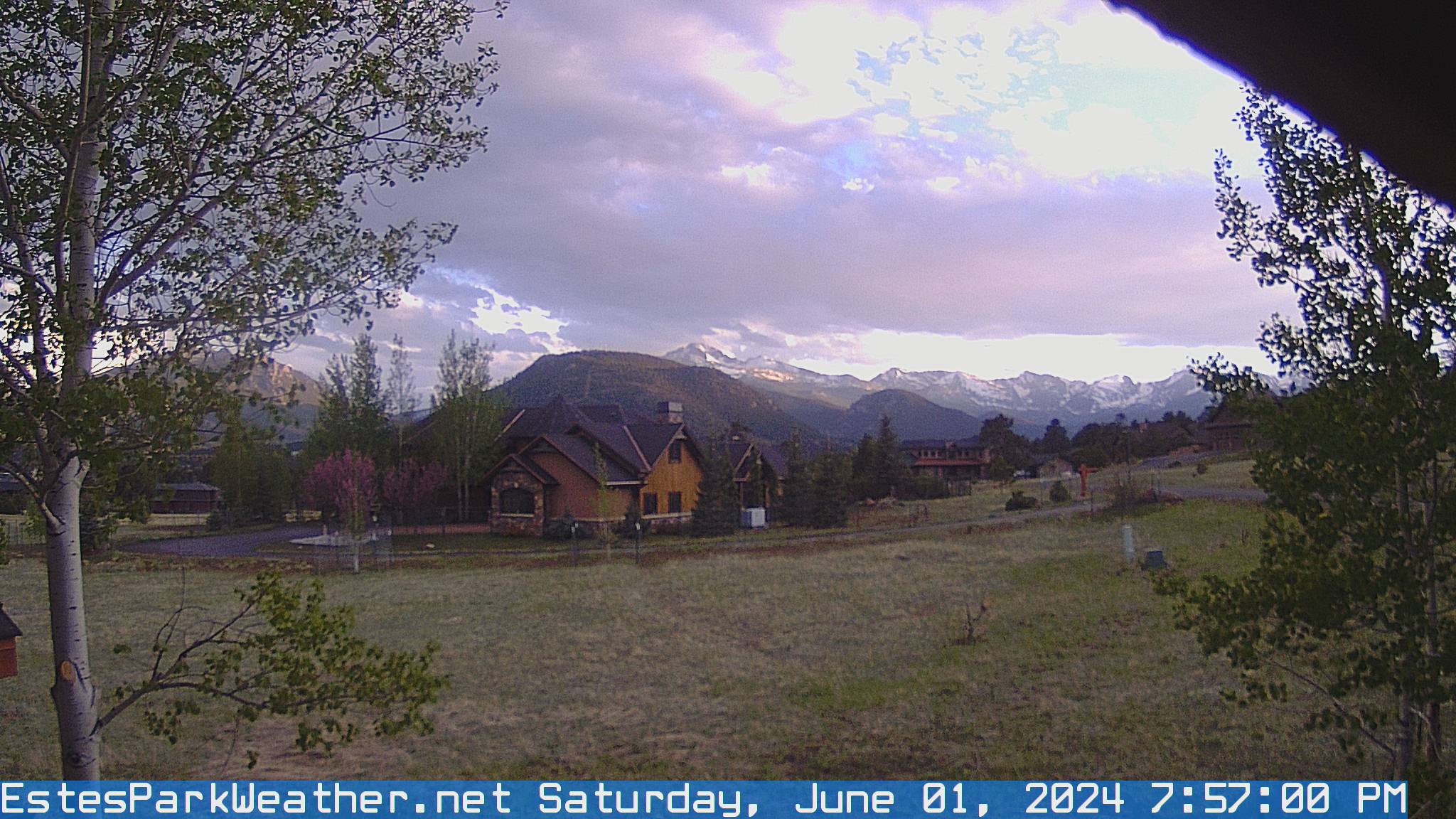
EstesParkWeather Webcam
Do you enjoy using this website regularly? Please consider a small donation to help offset the operational costs of running this website.
Thank you!
Donate
