Welcome to EstesParkWeather.net - Bringing you the best in local weather for Estes Park, Colorado.
Updated 5/6/2024 - Camera is up and running again. Some networking equipment was replaced. The Stardot camera survived the power surge. Due to work and personal commitments (including looking for a new job) I am quite behind in transition to the website design including a mobile friendly site but I plan to resume this again soon. Please note that the current legacy website is no longer reporting Weather Advisories such as Winter Storm warnings due to it's older programming code base. Please utilize the new new EstesParkWeather.net.This new site is functional and usable while work is in progress.
Hazardous Weather Conditions
Hazardous Weather Outlook
| Updated: @ Fri, 26-Apr-2024 9:30pm UTC - next update at 9:40pm
|
| Summary / Temperature |
Wind |
Rain |
Outlook |
|
  |
NE
0.2
Gust: 1.0 |
| Gust Today: 31.1 2:23pm |
| Gust Month: 52.0 Apr 6 |
|
| Rain Today: |
0.26 |
| Rain Rate (/hr): |
0.079 |
| Rain Yesterday: |
0.01 |
| This Month: |
0.68 |
| Season 2 Total: |
2.61 |
| 9 rain days in Apr. |
|
Tonight

Low: 26 °F
Chance Snow
Showers and
Breezy
|
|
| Humidity & Barometer |
Almanac |
Moon |
| Humidity: |
91 %
|
| Dew Point: |
31.3 
 |
| Barometer: |
29.51
|
| Baro Trend: |
|
|
| Sunrise: |
6:05 am |
| Sunset: |
7:52 pm |
| Moonrise: |
11:16 pm |
| Moonset: |
8:03 am |
|
| Waning Gibbous |
 |
90%
Illuminated |
|
| UV Index* - Littleton |
Solar Radiation* Littleton |
| 0.0 None 1 |
| High: 0.0 @ 12:00am |
|
| 0W/m2
0 % of max) |
| High:
0 @
12:00am |
|
|
| Estes Park Weather Forecast - This Afternoon's Outlook |
This
Afternoon

High: 45 °F
Slight Chance
Snow Showers
and Breezy
|
NWS forecast: This Afternoon, A 20 percent chance of snow showers. Some thunder is also possible. Mostly sunny, with a high near 45. Breezy, with a west wind around 16 mph, with gusts as high as 28 mph.
Davis VP+ forecast: mostly cloudy and cooler, precipitation ending within 6 hrs, windy with possible wind shift to the w, nw, or n. |
|
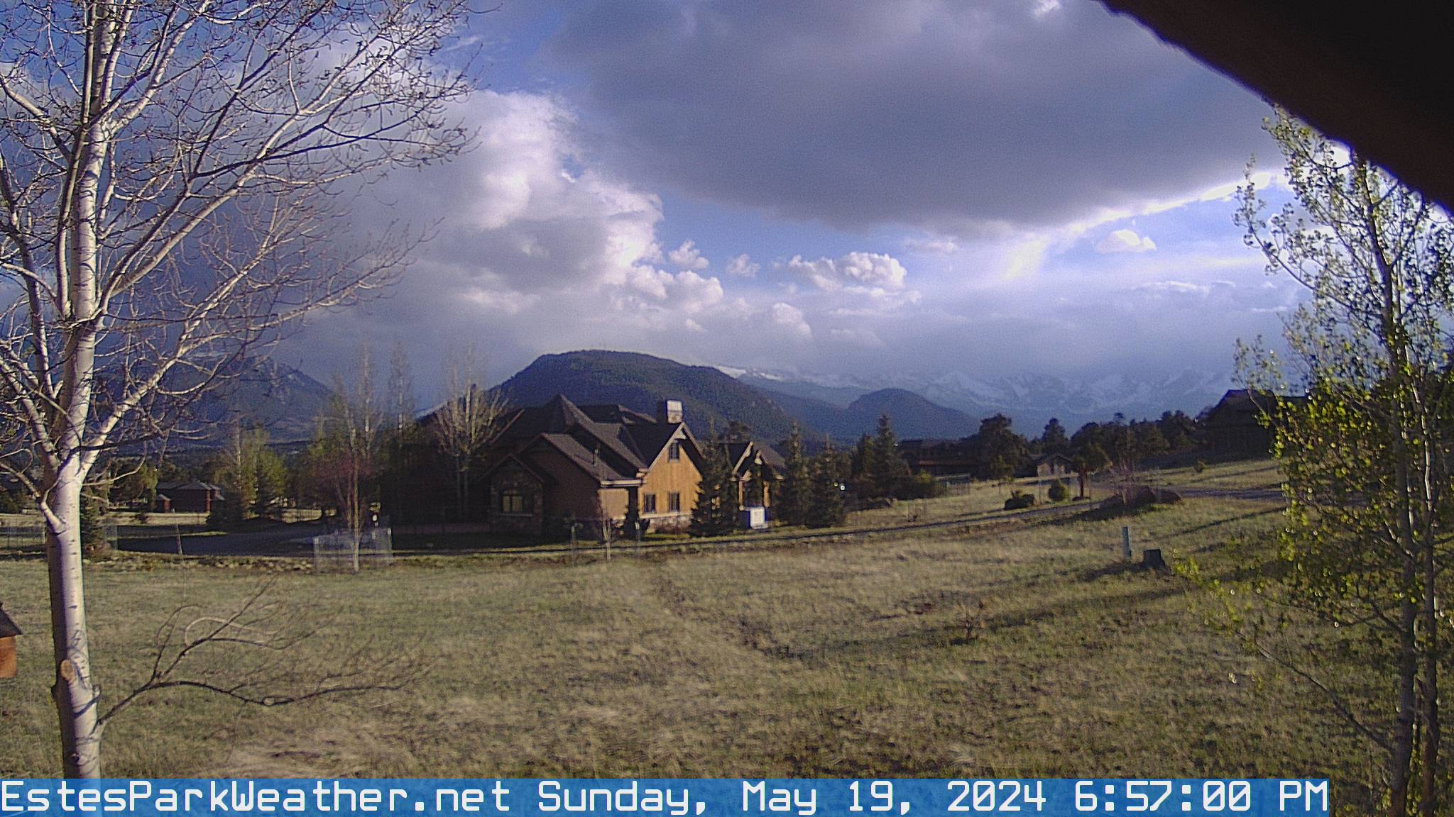
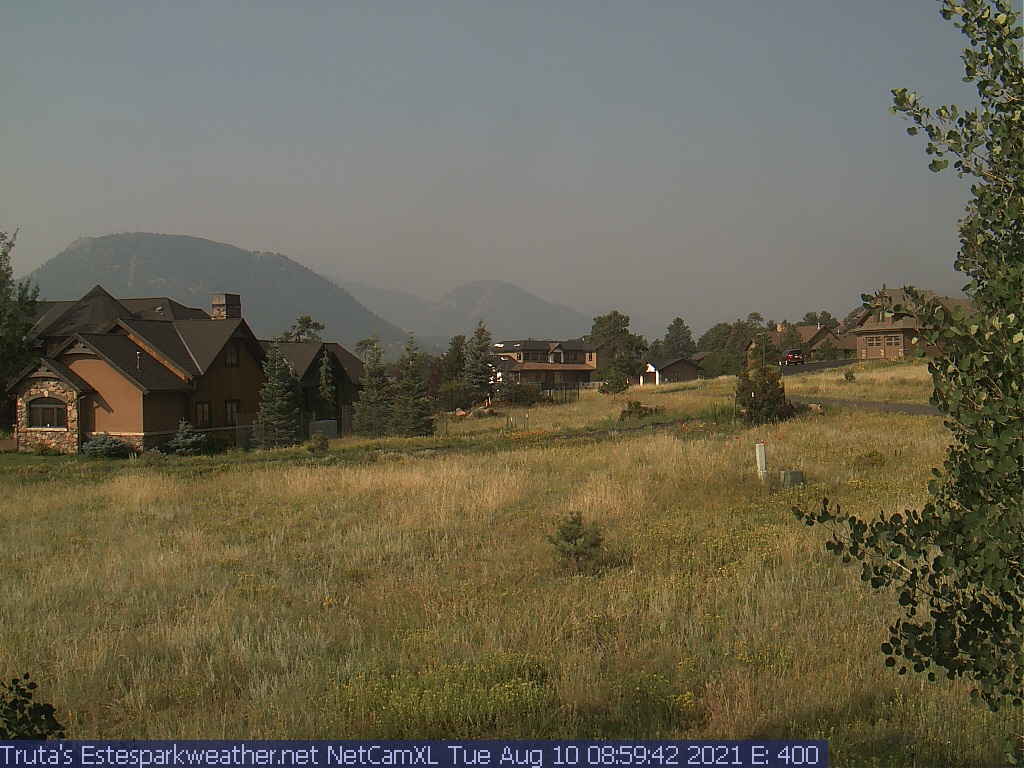
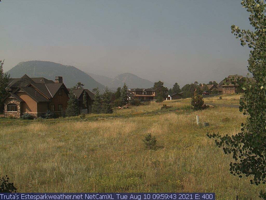
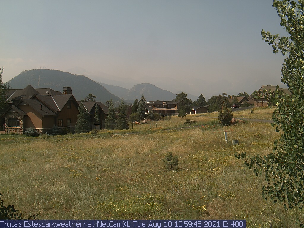
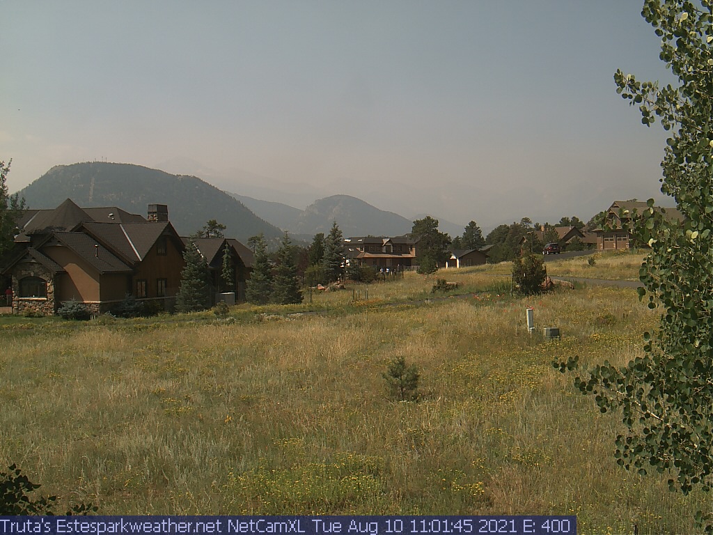
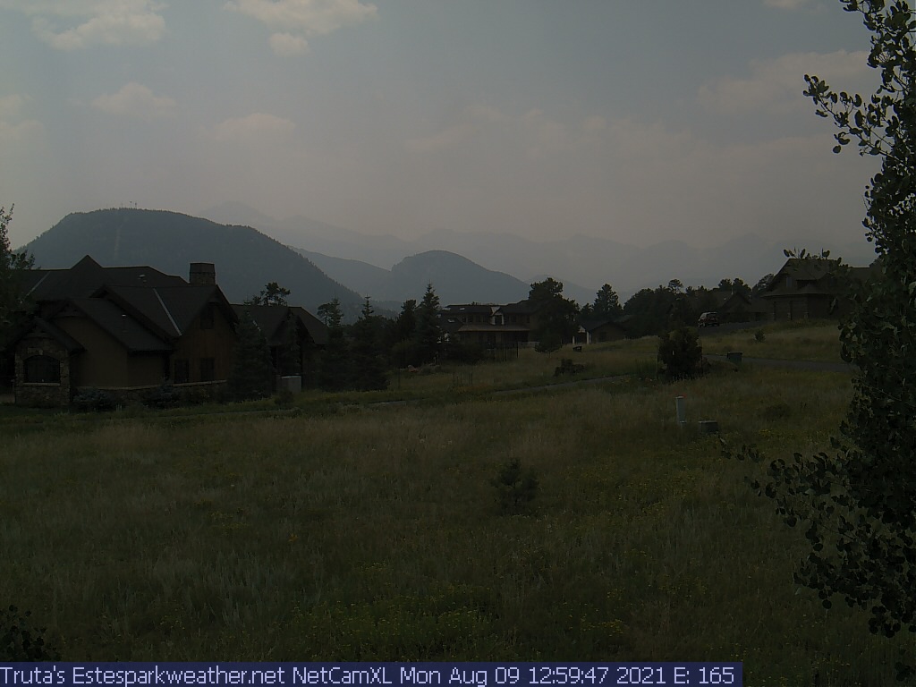
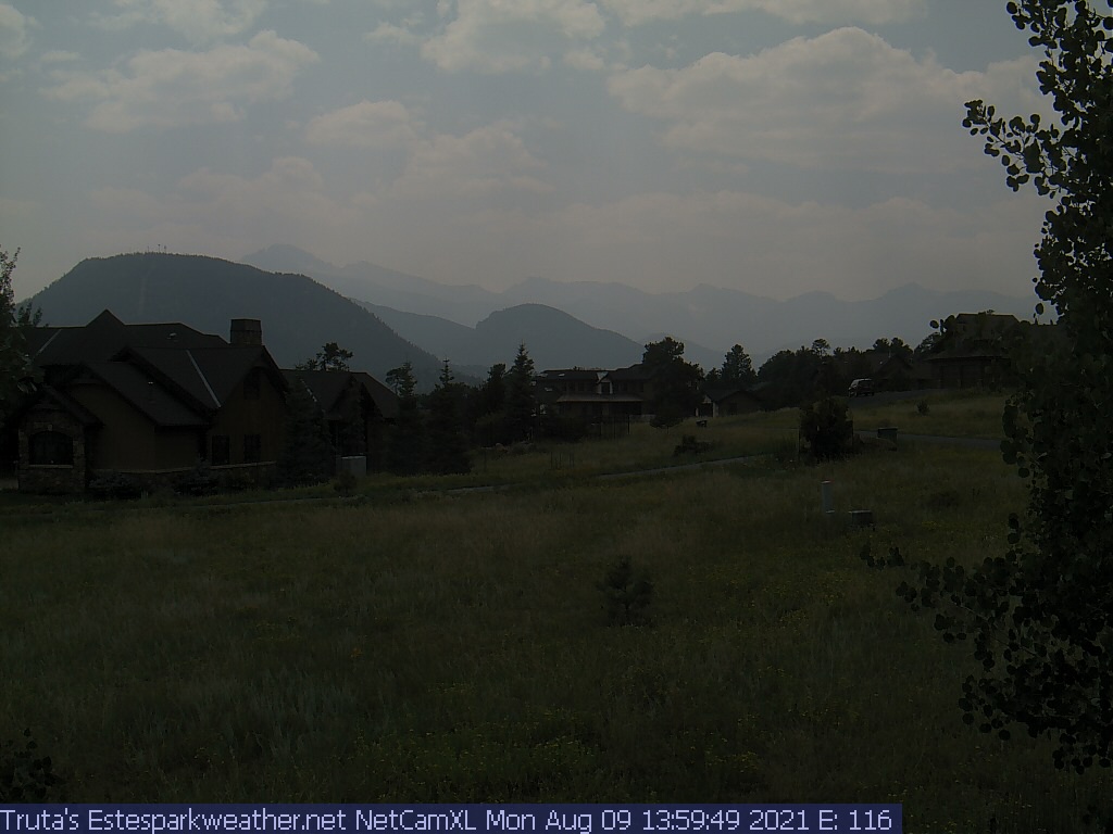
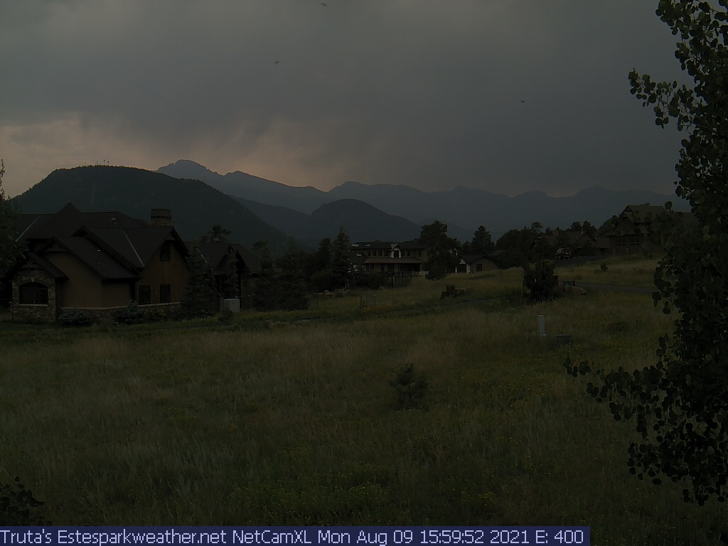
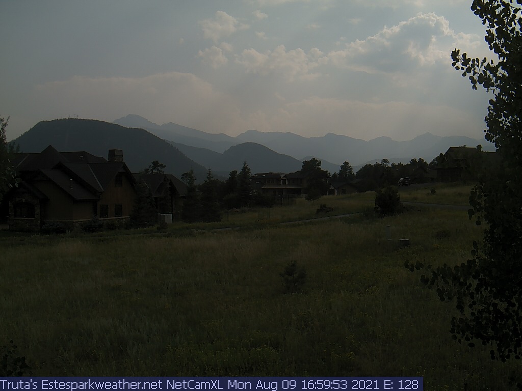
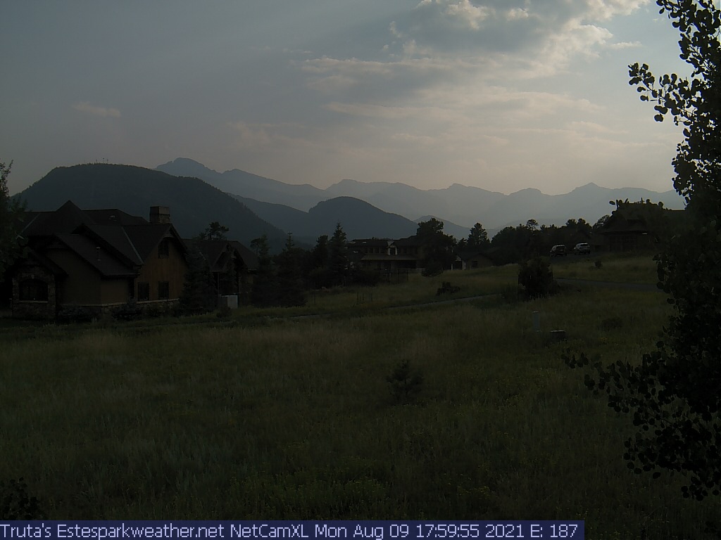
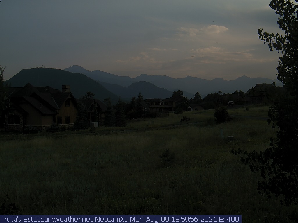
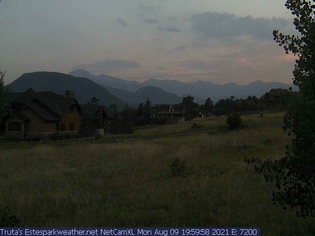
| Estes Park Webcam - Estes Park, Colorado - Time-Lapse slideshow |
Click on the webcam image to view full-size.
Weather Forecast
National Weather Service Forecast for: Estes Park CO
Issued by: National Weather Service Denver-Boulder, CO |
| Updated: 2:13 pm MDT May 8, 2024 |
This
Afternoon
High: 45 °F |
Tonight
Low: 26 °F |
Thursday

High: 42 °F |
Thursday
Night

Low: 31 °F |
Friday

High: 47 °F |
Friday
Night

Low: 33 °F |
Saturday

High: 56 °F |
Saturday
Night

Low: 36 °F |
Sunday

High: 57 °F |
Slight Chance
Snow Showers
and Breezy
|
Chance Snow
Showers and
Breezy
|
Chance Snow
Showers then
Snow Showers
|
Snow Showers
Likely then
Chance Snow
Showers
|
Chance Snow
Showers then
Chance
Rain/Snow
|
Slight Chance
Showers then
Mostly Cloudy
|
Partly Sunny
then Showers
Likely
|
Chance
Showers
|
Showers
Likely
|
This Afternoon
|
A 20 percent chance of snow showers. Some thunder is also possible. Mostly sunny, with a high near 45. Breezy, with a west wind around 16 mph, with gusts as high as 28 mph. |
Tonight
|
A 30 percent chance of snow showers. Some thunder is also possible. Mostly cloudy, with a low around 26. Breezy, with a west wind 5 to 15 mph, with gusts as high as 25 mph. Little or no snow accumulation expected. |
Thursday
|
Snow showers, mainly after noon. Some thunder is also possible. High near 42. Light and variable wind becoming east northeast 6 to 11 mph in the morning. Winds could gust as high as 18 mph. Chance of precipitation is 80%. New snow accumulation of around an inch possible. |
Thursday Night
|
Snow showers likely, mainly before midnight. Some thunder is also possible. Cloudy, with a low around 31. East northeast wind 5 to 9 mph becoming calm in the evening. Winds could gust as high as 15 mph. Chance of precipitation is 70%. New snow accumulation of less than one inch possible. |
Friday
|
A chance of snow showers before noon, then a chance of rain and snow showers between noon and 4pm, then a chance of rain showers after 4pm. Some thunder is also possible. Mostly cloudy, with a high near 47. Calm wind becoming east southeast 5 to 8 mph in the morning. Chance of precipitation is 50%. |
Friday Night
|
A 20 percent chance of showers before midnight. Mostly cloudy, with a low around 33. |
Saturday
|
Showers likely and possibly a thunderstorm after noon. Partly sunny, with a high near 56. Chance of precipitation is 70%. |
Saturday Night
|
A chance of showers and thunderstorms before midnight, then a slight chance of showers. Mostly cloudy, with a low around 36. |
Sunday
|
A chance of showers, then showers likely and possibly a thunderstorm after noon. Partly sunny, with a high near 57. |
Sunday Night
|
A chance of showers and thunderstorms before midnight. Partly cloudy, with a low around 38. |
Monday
|
Showers likely and possibly a thunderstorm. Partly sunny, with a high near 62. |
Monday Night
|
A chance of showers and thunderstorms. Partly cloudy, with a low around 39. |
Tuesday
|
A chance of showers and thunderstorms. Partly sunny, with a high near 63. Breezy. |
Tuesday Night
|
A chance of showers and thunderstorms. Mostly cloudy, with a low around 38. Breezy. |
Do you enjoy using this website regularly? Please consider a small donation to help offset the operational costs of running this website. Thank you! Greg Truta
Donate
Interested in advertising your small business on EstesParkWeather ?
Contact me for more information:
This page is updated by Weather Display V10.37S and WeatherLink V
With JavaScript enabled, some conditions are updated at 5 second intervals. The next full page conditions update is scheduled for 9:40pm. Thanks to Ken True at Saratoga-Weather.org for the general layout ideas, and his use of AJAX technologies.
EstesParkWeather.net is part of the ExceptionalWeather Network. Visit ExceptionalWeather.com to learn more about my other Weather Stations, and equipment.